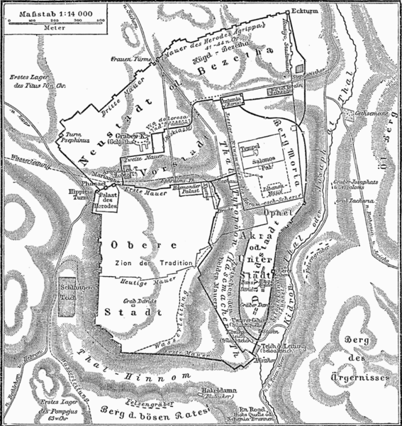
File:Historische Karte von Jerusalem MK1888.png
Jump to navigation
Jump to search

Size of this preview: 567 × 600 pixels. Other resolutions: 227 × 240 pixels | 454 × 480 pixels | 739 × 782 pixels.
Original file (739 × 782 pixels, file size: 155 KB, MIME type: image/png)
Categories:
- 19th-century maps of Jerusalem
- Maps showing 1st-century history
- Floor plans of palaces
- Kidron Valley
- Biblical maps
- Salahi Bimarstan (Jerusalem)
- Maps of cities (Meyers Konversationslexikon 4th edition)
- Images from Meyers Konversationslexikon 4th edition - text figures
- Maps with a scale of 1:14,000
- 1880s maps showing history


